Mapping
Your farm, on a map
Every scan is a placed read. That turns inventory into a live picture of the farm you can filter, route and drive — and it builds your roads while you work.
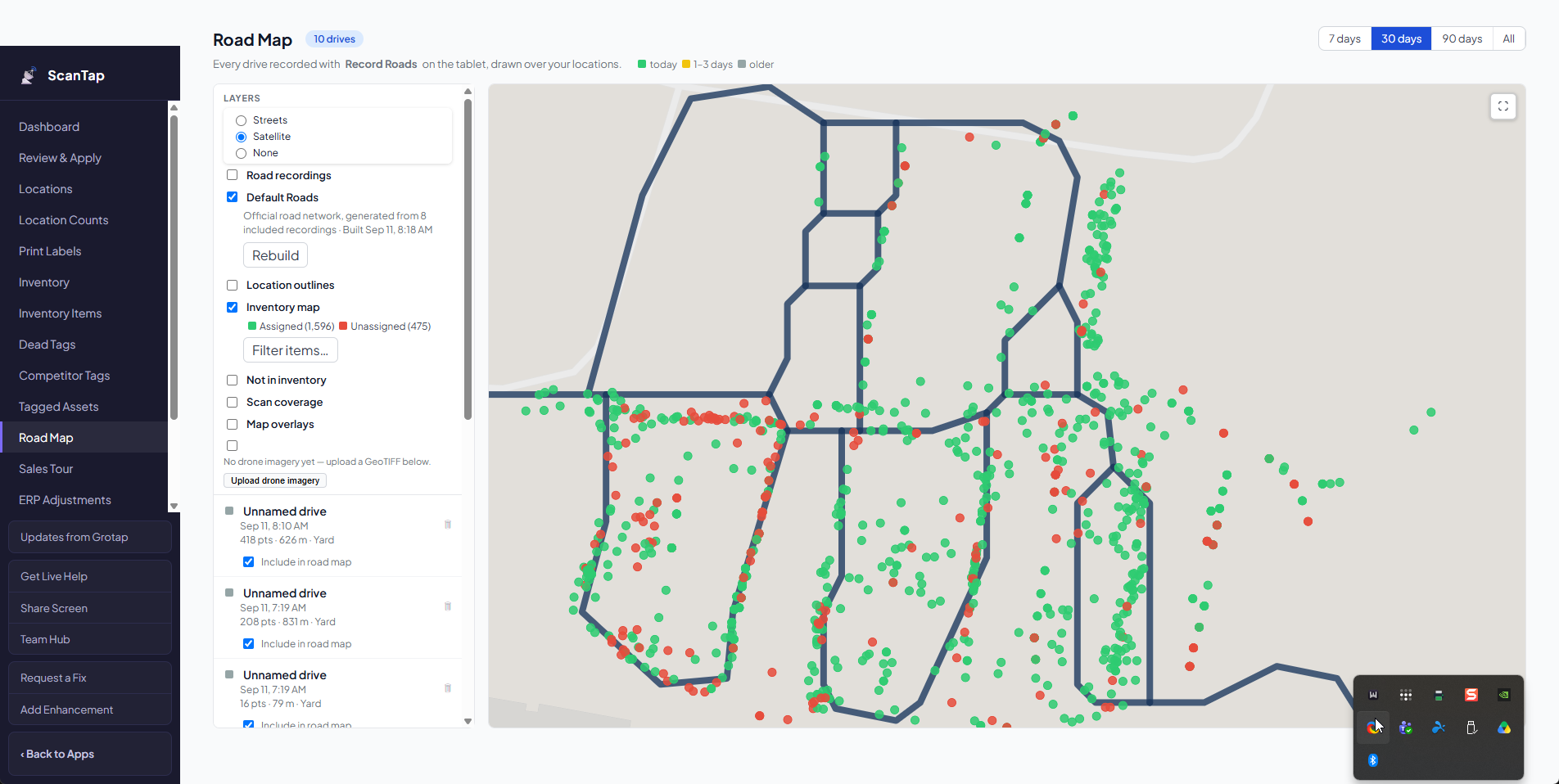
See your entire inventory on a map
Every read is placed, so the count stops being a spreadsheet and becomes a picture of your farm. Use that information in endless ways to run every operation more efficiently — pulling orders, planning labor, checking a block before you drive to it.
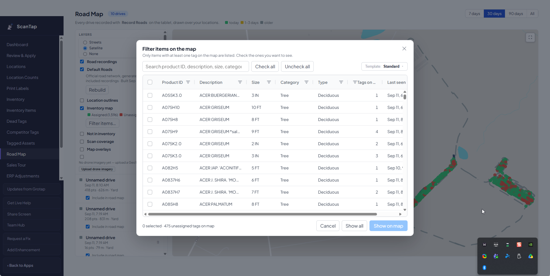
Search by plant name, size or any characteristic
Filter the inventory the way you think about it — species, size, grade, block, crop year — and the map redraws to exactly what you asked for. What is left on the screen is what you actually have, and where it actually is.
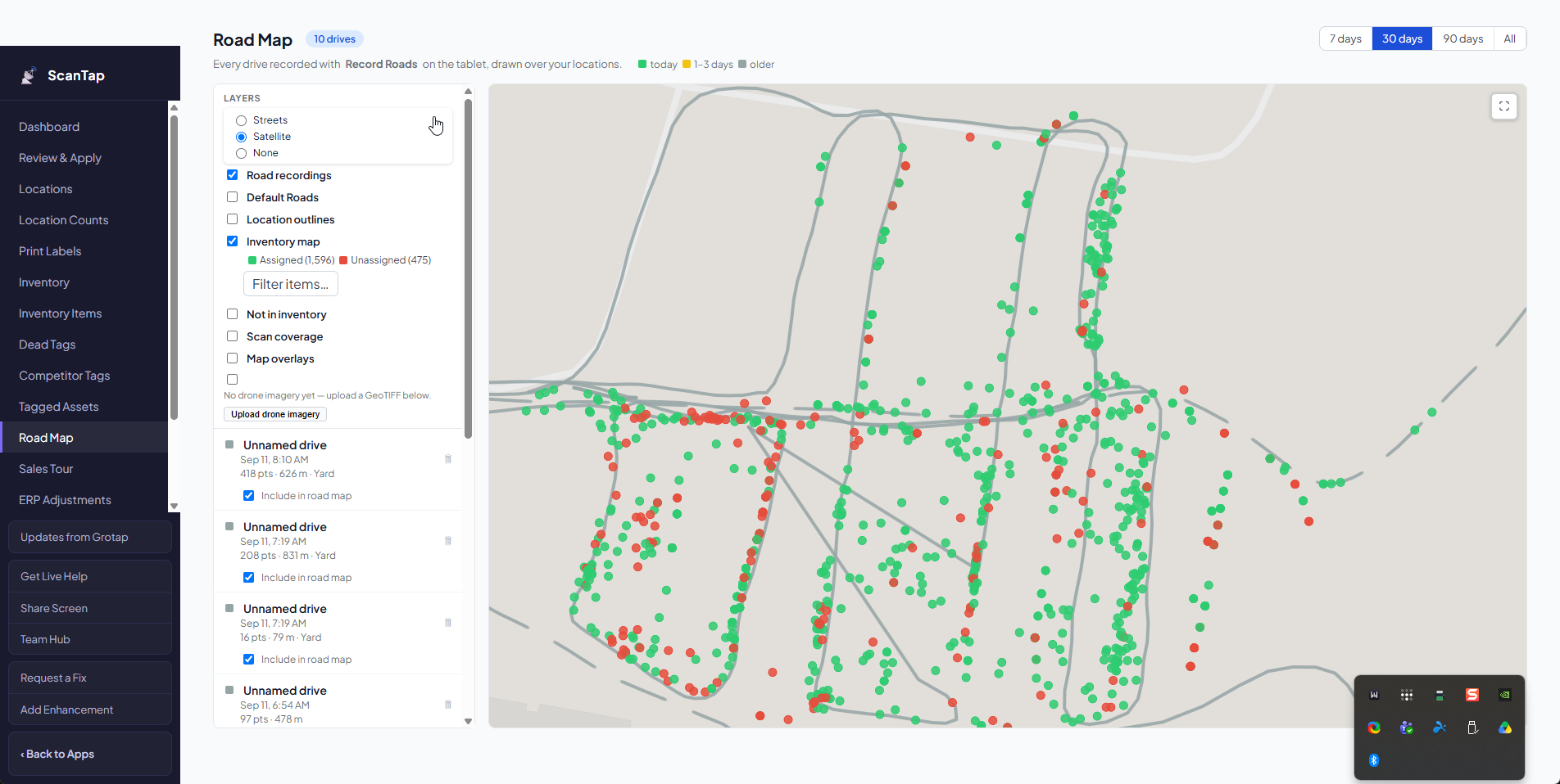
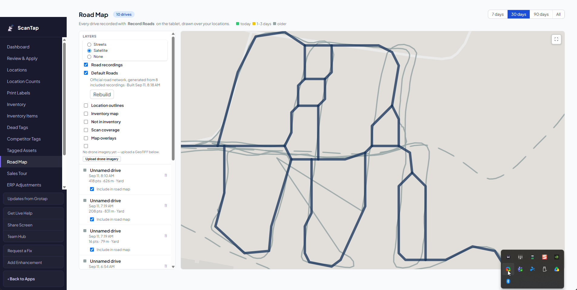
It automatically maps your facility roads
Road building is built into the app. Drive the farm and ScanTap builds your road map out of the tracks you actually drove — not out of a generic road layer. It also works out tree rows and inventory islands as the AI learns how your operation runs, so road creation, routing and mapping all come out of normal daily work instead of a setup project.
See it on your own stock
Tell us what you grow, how you count it today, and what goes wrong when you do. We will walk you through what ScanTap would look like in your operation.